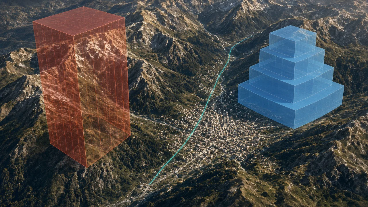
Navigate complex airspace with an interactive airspace map that overlays controlled zones, restricted areas, and altitude limits on your flight and route. The airspace visualization engine lets you open vertical slices at any point to inspect stacked zones, ensuring you stay legal and safe.
What you get
- Interactive airspace map with color-coded controlled, restricted, and danger zones.
- Airspace visualization overlaid on both 2D and 3D map views.
- Vertical slice tool to inspect stacked airspace layers at any point along your route.
- Altitude ceiling indicators showing maximum legal altitude along your planned path.
- Airspace proximity warnings for routes that approach or intersect restricted zones.
- Regularly updated airspace map data sourced from official aviation databases.
Why it matters for you
- Keeps you legal and safe with clear airspace visualization before takeoff.
- Reveals stacked airspace layers that are difficult to understand from charts alone.
- Reduces airspace infringement risk with proactive route analysis.
- Essential airspace map tool for flying near controlled zones and competition areas.
Related features
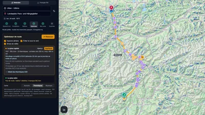
Route Optimizer
Place your turnpoints: XCviewer finds the best route and every climb for the day, the time and your glider.
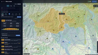
Where to Fly: XC Zones
The cross-country potential around you, day by day, for your glider: valley by valley in the Alps, in cells of about 25 km elsewhere.
Hike & Fly Planner
Plan X-Alps style days: fly when it works, walk when it is faster, relaunch from summits.