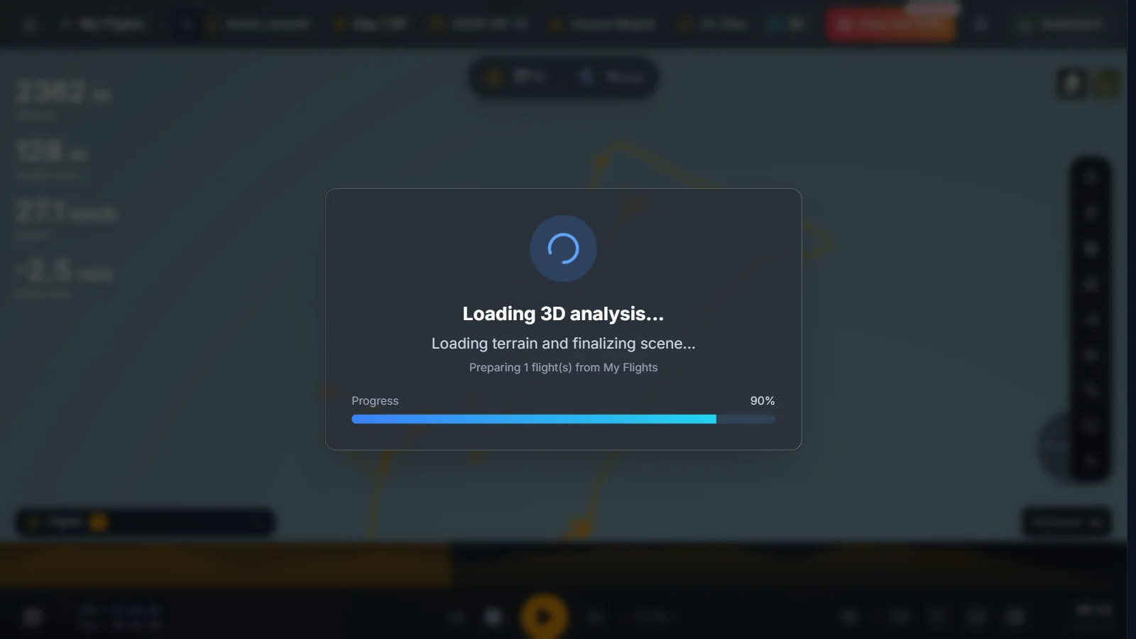
XCviewer is an online IGC viewer built for paragliding and hang gliding pilots. Drop the IGC file from XCTrack, Skytraxx, Flymaster, Syride, SeeYou Navigator, FlySkyHy or any other flight recorder, and within seconds you see your track on satellite imagery and real terrain, with altitude, speed, climb rate and glide statistics computed automatically. Every file you open is kept in your personal logbook so you can come back to it later.
What you get
- Opens IGC, GPX and KML files in the browser, on desktop and on mobile.
- 3D track on satellite imagery and high-resolution terrain, plus a 2D map view.
- Automatic takeoff, landing, duration, distance, maximum altitude and climb statistics.
- Altitude profile and synchronized charts for speed, vario and glide ratio.
- Batch import of a whole season of flights with duplicate detection.
Why pilots use it
- No desktop software, plugin or file conversion needed.
- Works with the files your vario or flight app already produces.
- Turns a raw tracklog into something you can understand and share in seconds.
Related features
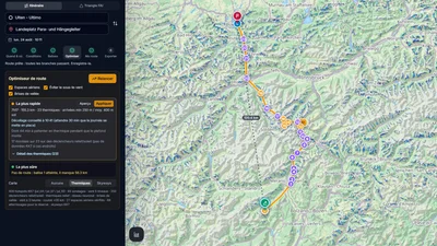
Route Optimizer
Place your turnpoints: XCviewer finds the best route and every climb for the day, the time and your glider.
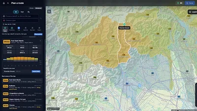
Where to Fly: XC Zones
The cross-country potential around you, day by day, for your glider: valley by valley in the Alps, in cells of about 25 km elsewhere.
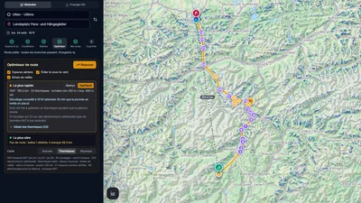
Hike & Fly Planner
Plan X-Alps style days: fly when it works, walk when it is faster, relaunch from summits.