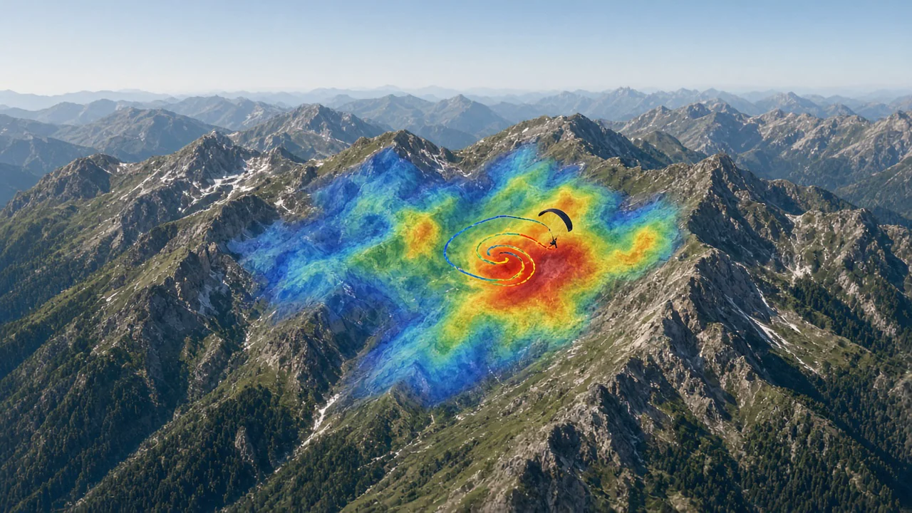
Overlay thermal hotspots and thermal map data directly onto your 3D flight view. This integration brings crowd-sourced thermal hotspot intelligence into your planning and analysis workflow, helping you understand where thermals typically develop and how to connect them efficiently.
What you get
- Thermal hotspot overlay with hotspot intensity and average climb rate data.
- Thermal map layer showing historical convection patterns over your flying area.
- Adjustable transparency and zoom to blend thermal data with terrain and tracks.
- Seasonal and time-of-day filtering to match the thermal map to your conditions.
- Integration with route planning to design lines that connect the strongest thermals.
Why it matters for you
- Lets you plan routes using proven thermal hotspots rather than guesswork.
- Reveals thermal map patterns that take years to learn by experience alone.
- Improves XC distance by helping you anticipate and connect thermal sources.
Related features
Pilot Coach
Your thermalling technique, safety habits and progress, measured across all your flights.
Flight Analysis in 3D & 2D
Every thermal, glide and safety margin of a flight, linked to the 3D replay and the map.

Flight Comparison in Sync
Replay multiple pilots side-by-side to compare tactics, match thermals, and learn from every glide.